Political Boundary Lines - Palau
Political boundary lines for Palau.
Data and Resources
-
OGC-WFS
WFS
Open Geospatial Consortium Web Feature Service (WFS). Supported WFS versions...
-
OGC-WMS
WMS
Open Geospatial Consortium Web Map Service (WMS). Supported WMS versions...
-
GeoServer
This URL provides access to this dataset via GeoServer, which offers multiple...
-
GeoExplorer
This URL provides a viewer for this dataset.
-
Unnamed resource
-
Unnamed resource
-
ISO-19139 (Local) Metadata
The XML content as stored locally by CKAN
-
ISO-19139 (IOOS Registry)
The XML content as published by the IOOS Registry
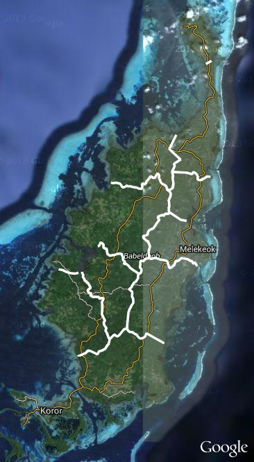
Graphic Preview
Metadata Date
Metadata Tags
| Online Access |
OGC:WFS (OGC Web Feature Service) These data are available for access with an OGC WFS compatible client OGC:WMS (OGC Web Map Service) These data are available for access with an OGC WMS compatible client
|
| Distributor | Palau Automated Land and Resource Information System (PALARIS) |
| Point of Contact |
Palau Automated Land and Resource Information System (PALARIS) palaris@palaunet.com Online Resource |
| Resource Provider |
Palau Automated Land and Resource Information System (PALARIS) palaris@palaunet.com Online Resource |
| Publisher |
Pacific Islands Ocean Observing System (PacIOOS) info@pacioos.org Online Resource |
| Dataset Point of Contact |
Pacific Islands Ocean Observing System (PacIOOS) info@pacioos.org |
| General Documentation | |
| Associated Documentation |
Pacific Islands Ocean Observing System (PacIOOS)
|
| Resource Provider |
Palau Automated Land and Resource Information System (PALARIS) |
| Date(s) |
creation:
2016-01-25
issued: 2016-01-25 revision: 2016-01-25 creation: 2016-01-25 issued: 2016-01-25 revision: 2016-01-25 creation: 2016-01-25 issued: 2016-01-25 revision: 2016-01-25 |
| Purpose | PacIOOS provides timely, reliable, and accurate ocean information to support a safe, clean, productive ocean and resilient coastal zone in the U.S. Pacific Islands region. |
| Use Limitations |
The data may be used and redistributed for free but is not intended for legal use, since it may contain inaccuracies. Neither the data Contributor, University of Hawaii, PacIOOS, NOAA, State of Hawaii nor the United States Government, nor any of their employees or contractors, makes any warranty, express or implied, including warranties of merchantability and fitness for a particular purpose, or assumes any legal liability for the accuracy, completeness, or usefulness, of this information.
|
| Spatial Bounding Box Coordinates | N: 7.685538591275426° S: 7.395343360210571° E: 134.63859591984507° W: 134.4867498361756° |
| Theme keywords |
GCMD Science Keywords
|
| Data Center keywords |
GCMD Data Center Keywords
|
| Place keywords |
GCMD Location Keywords
|
| Project keywords |
GCMD Project Keywords
|
| Use Constraints |
The data may be used and redistributed for free but is not intended for legal use, since it may contain inaccuracies. Neither the data Contributor, University of Hawaii, PacIOOS, NOAA, State of Hawaii nor the United States Government, nor any of their employees or contractors, makes any warranty, express or implied, including warranties of merchantability and fitness for a particular purpose, or assumes any legal liability for the accuracy, completeness, or usefulness, of this information.
|
| Lineage Statement | 2016-01-25T00:00:00Z OGC web services (WMS and WFS) enabled by PacIOOS via GeoServer. Original data from source provider may have been reformatted, reprojected, or adjusted in other ways to optimize these capabilities. |
| Platforms | |
|---|---|
| Ingestion Attributes | |
| Instrument Attributes | |
| Attribution Information | |
| CF related |